Roupy Communal Cemetery
- Country France
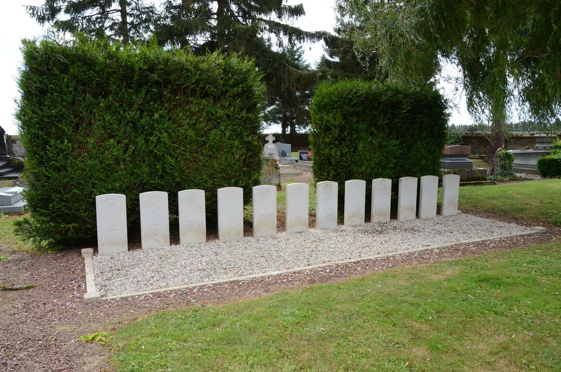
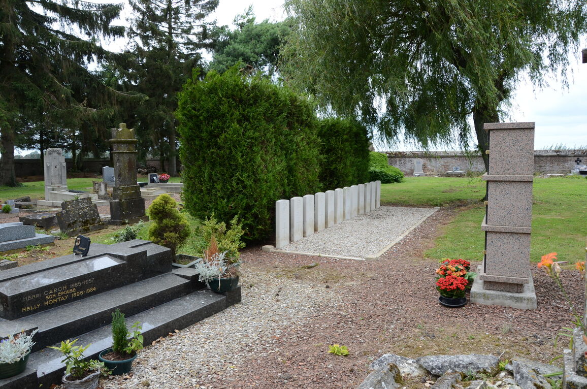
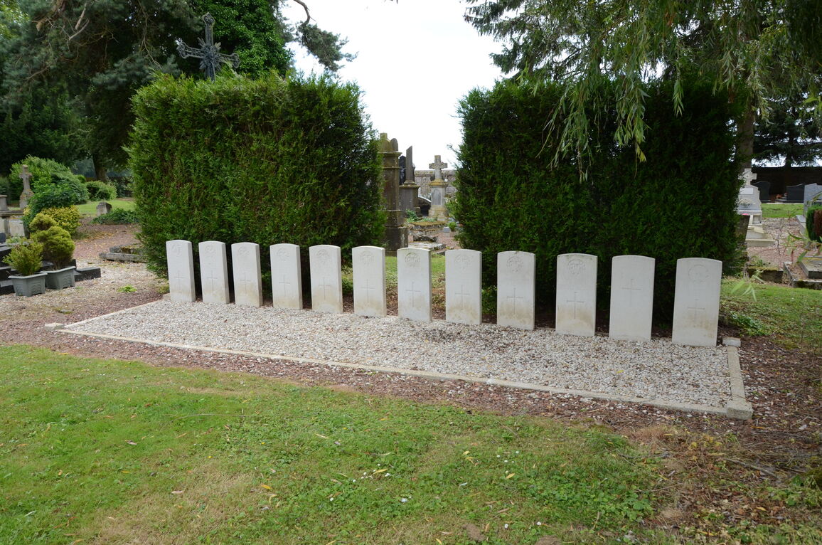
- Total identified casualties 11 Find these casualties
- Region Aisne
- Identified casualties from First World War
- GPS Coordinates Latitude: 49.81733, Longitude: 3.1801
Location information
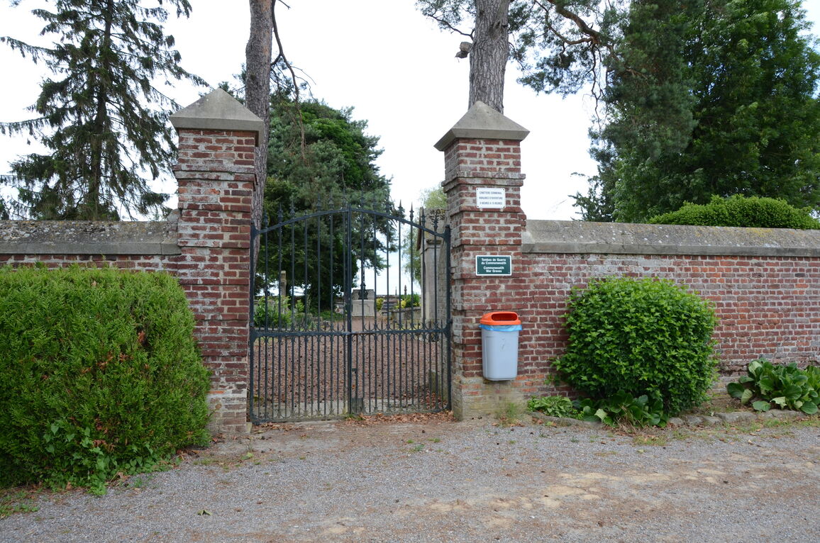
Roupy is a commune 9 kilometres west of St Quentin, in the Department of Aisne. Roupy is on the road Departementale D934, in the direction of "Ham". The burials are located on the right of the main path near the rear of the cemetery.
History information
The cemetery contains 12 Commonwealth burials of the 1914-1918 war, 1 of which is unidentified.